Introduction
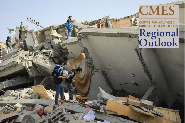
The ceasefire agreed between Israel and Hamas makes provisions for the passage of food and humanitarian aid into Gaza. This support is much needed given that Gaza’s agricultural system has been severely damaged over the course of the war.
Over the past 17 months we have analysed satellite images across the Gaza Strip to quantify the scale of agricultural destruction across the region. Our newly published research reveals not only the widespread extent of this destruction but also the potentially unprecedented pace at which it occurred.
About Lina Eklund
Dr. Lina Eklund is an associate senior lecturer at the department of Physical Geography and Ecosystem Science at Lund University, Sweden. Eklund specializes in land system dynamics in the context of migration and armed conflict, using mainly earth observation and spatial analysis. She is specifically interested in the Middle East and has been doing research primarily on Israel/Palestine, Iraq and Syria.